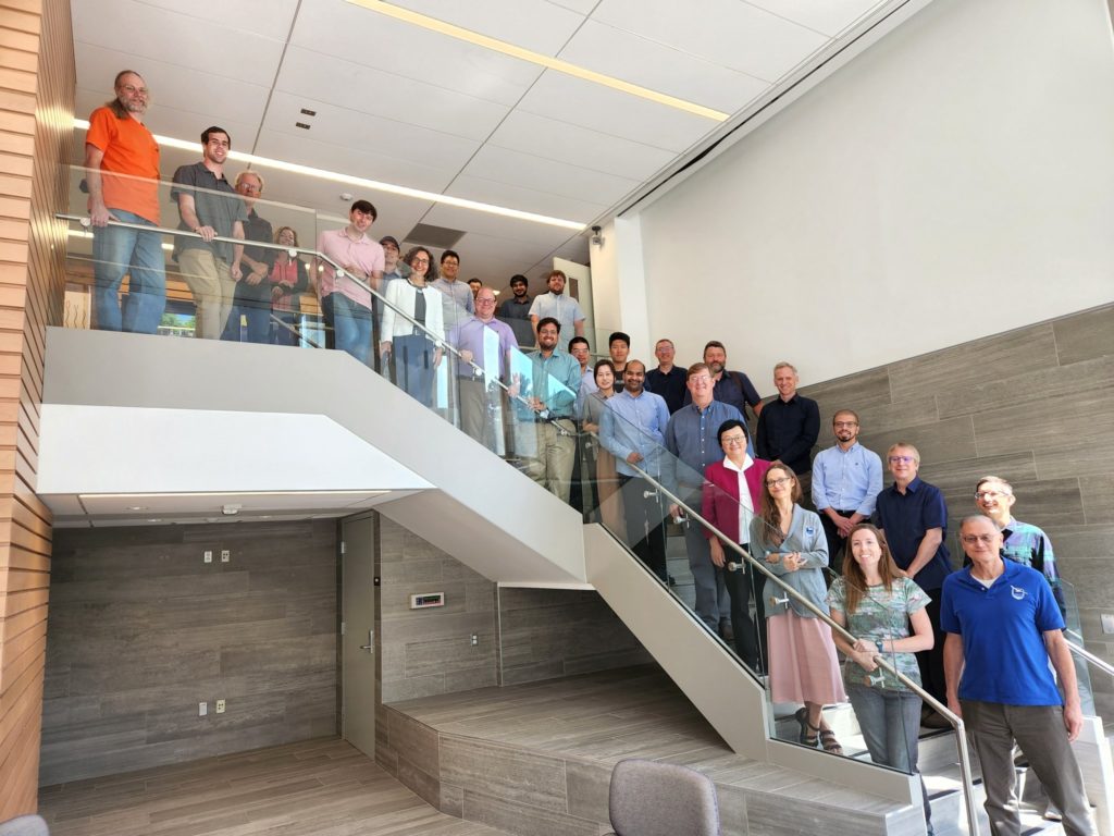
CYGNSS Science Team Meets at U-M
The CYGNSS Science Team convenes at U-M Climate and Space, discussing the progress of a multitude of investigations using the constellation of eight micro-satellites.
The CYGNSS Science Team convenes at U-M Climate and Space, discussing the progress of a multitude of investigations using the constellation of eight micro-satellites.
The CYGNSS Science Team held its annual summer meeting at the U-M Department of Climate and Space on Aug. 22-24, 2022, discussing the progress of a multitude of investigations that are underway using the constellation of eight micro-satellites.
Short for Cyclone Global Navigation Satellite System, the CYGNSS constellation of eight SmallSats was designed and built at the University of Michigan and the Southwest Research Institute and launched into low Earth orbit on December 15, 2016. It began as a two-year mission to study how well GPS signals reflected from the ocean surface can help measure the winds in hurricanes and improve forecasts, but the reflected signals generated by the technology provide invaluable data that can be used in many other applications. With ongoing support from NASA, research scientists have expanded the scope of CYGNSS science as they discover new, exciting and impactful applications for the mission.
In August, the CYGNSS Science Team presented on projects ranging from ocean wind and wave sensing, cloud and precipitation detection in cyclones, wetland methane emissions, storm surge, soil and vegetation monitoring, and ocean heat flux, as well as sensor calibration, product assessments and data fusion. They also heard updates on mission readiness for the new Rongowai project, which will advance global understanding of the impacts of climate change in a partnership between world-class scientists and engineers, NASA, and Air New Zealand.
According to CYGNSS Principal Investigator and CLaSP Professor Chris Ruf, “The meeting provided a forum for the investigators to share their latest results, explore meaningful new collaborations, and provide valuable feedback to the project team running our Science Operations Center here at U-M.”
The “Rongowai” (sensing water) mission involves fitting a Q300 aircraft with a next-generation Global Navigation Satellite System Reflectometry (GNSS-R) receiver unit. Using GPS signals reflected from the Earth’s surface, the GNSS receiver will act as a scientific “black box” during flights, gathering data to better predict severe storms and facilitate climate change research in New Zealand. NASA will use the data for calibration and validation of CYGNSS and for scientific research into global water cycle processes and their interactions with climate, including effects like flooding, droughts, and coastal erosion.